Work
Geospatial systems from national data infrastructure to open specifications: production pipelines, spatial platforms, standards work, and the computational geography of human experience.
Most of these started because a dataset would not do what somebody needed it to do. A platform unifying 53 sources, so thirty researchers stop filing requests for extracts. A conflation pipeline, because two points of interest datasets disagree about where things are. A geoparser, because nine gazetteers spell the same place nine ways. A routing engine, because the shortest path and the best walk are not the same question. They range from national scale infrastructure to open specifications and published datasets, and several went from research prototype to commercial deployment. The ones that lasted are the ones somebody else could pick up and run.

CDISAW: a queryable data infrastructure for slavery and armed conflict
A research platform that makes 53 incompatible datasets on slavery in war answerable as one corpus. 23.5M linked event records across five ontological layers, queried through a typology-first interface, with every query citable.
23.5MLinked event records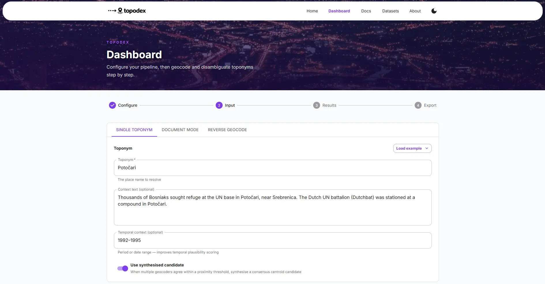
Topodex: contextual geocoding for conflict and human rights corpora
A Python library that makes geocoders accountable to the document they are reading. 894M+ places resolved across nine open sources, reranked against document context, with a six-category failure taxonomy and a coherence check over everywhere a document names.
894M+Places resolved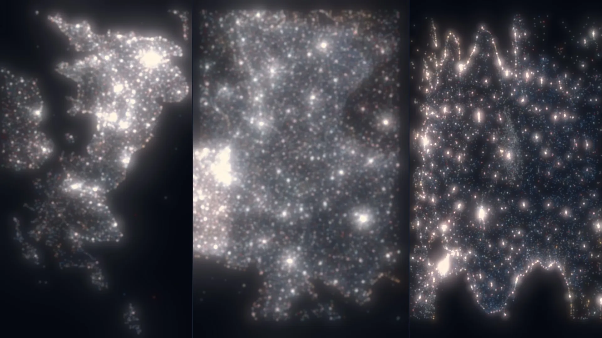
AnythingPOI: a fused, confidence-scored points of interest dataset
OpenStreetMap and Overture Maps conflated into one deduplicated, classified, openly licensed dataset. 22.7M points across six countries, every record carrying a confidence score and the evidence behind it.
22.7MPoints of interest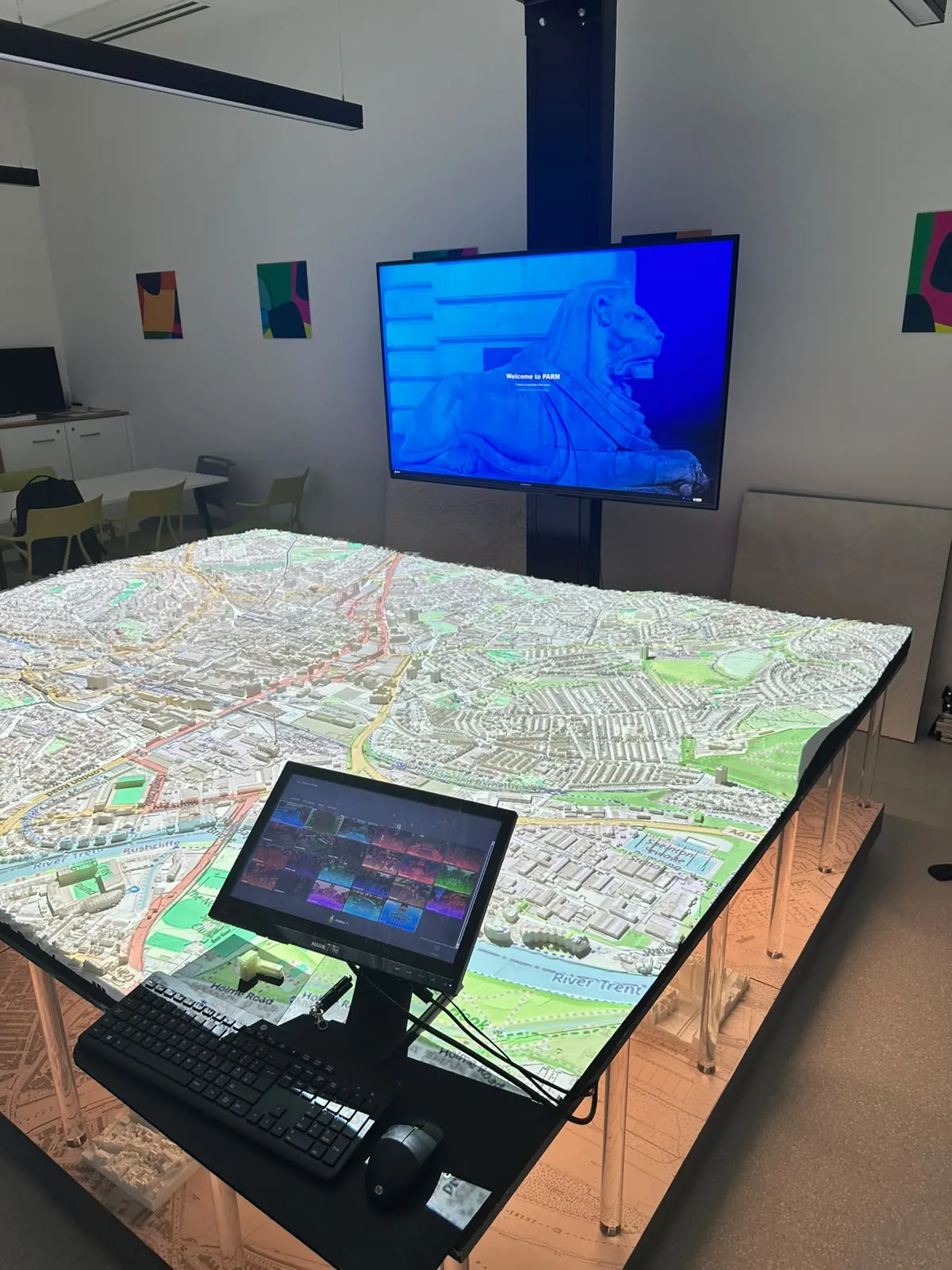
PARM-X: projecting live geospatial data onto physical city models
The interactive software layer for Nottingham's projection augmented relief model. Live council data, crowd simulations and public responses draped onto physical terrain across four synchronised screens, cutting a four-hour preparation process to minutes for executive planning sessions.
4h → minMap preparation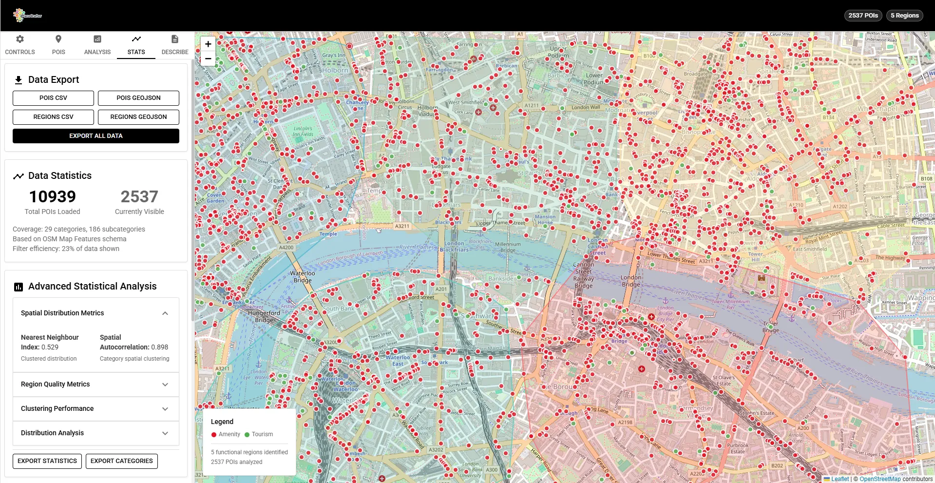
PlaceCrafter: curating urban functional regions from OpenStreetMap points of interest
A browser-based platial analysis tool that finds the functional regions a city actually uses, rather than the ones it is administratively divided into. Three clustering algorithms over live Overpass data, every region scored against nearest neighbour index, silhouette and Moran's I before it is believed.
18Functional regions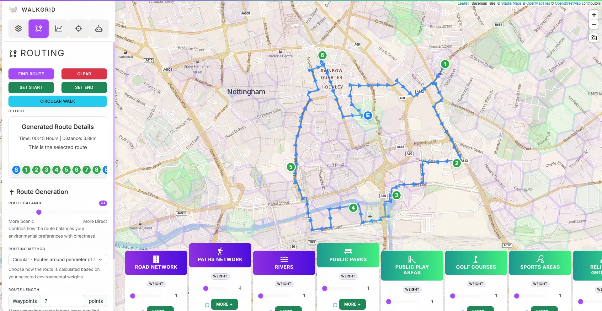
WalkGrid: personalising urban walking through environmental similarity
A routing platform that curates walks by what makes them worth taking, from greenspace and heritage to air quality and safety, rather than by distance. 51 environmental features scored across a hexagonal grid, with route selection driven by natural language.
51Environmental features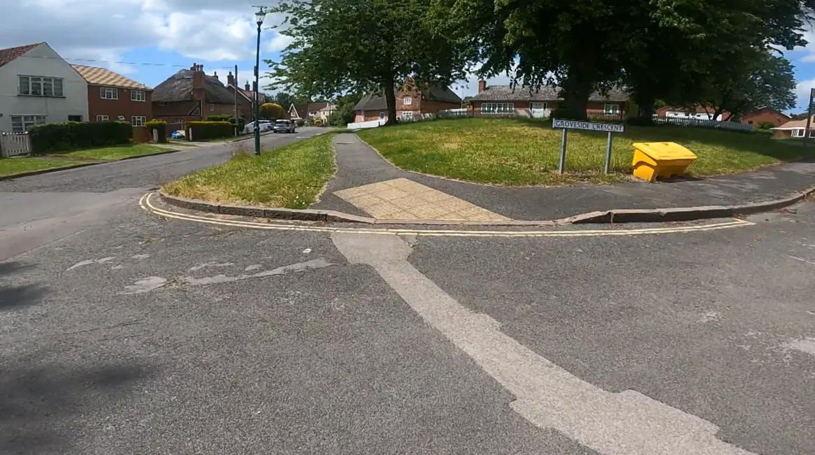
WalkGIS: linking video narratives to maps to capture sense of place
A contextual GIS that fuses first-person walk video, think-aloud narration and GPS into one synchronised environment, so what a walker said can be queried spatially. Analysis per walk fell from two or three weeks to one.
3wk → 1wkAnalysis per walk
Leisure Walking Systems Working Group: making place research buildable
An EPSRC-funded academic and industry initiative that produced open technical documentation, design frameworks and evaluation tools for place-based walking systems. 25+ documents across 8 research areas, published for practitioners rather than archived for academics.
25+Technical documents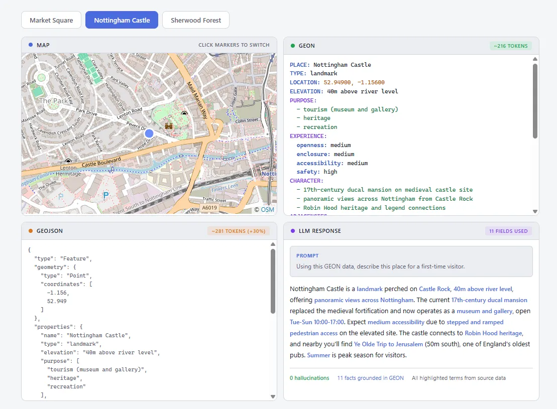
GEON: an LLM-native format for representing places as meaning, not coordinates
An open text format that describes what a place is, how it works and how it feels, rather than where its vertices are. Three reference implementations, bidirectional GeoJSON conversion, and measurably fewer tokens than the format it complements.
3Reference implementations