Selected work
All work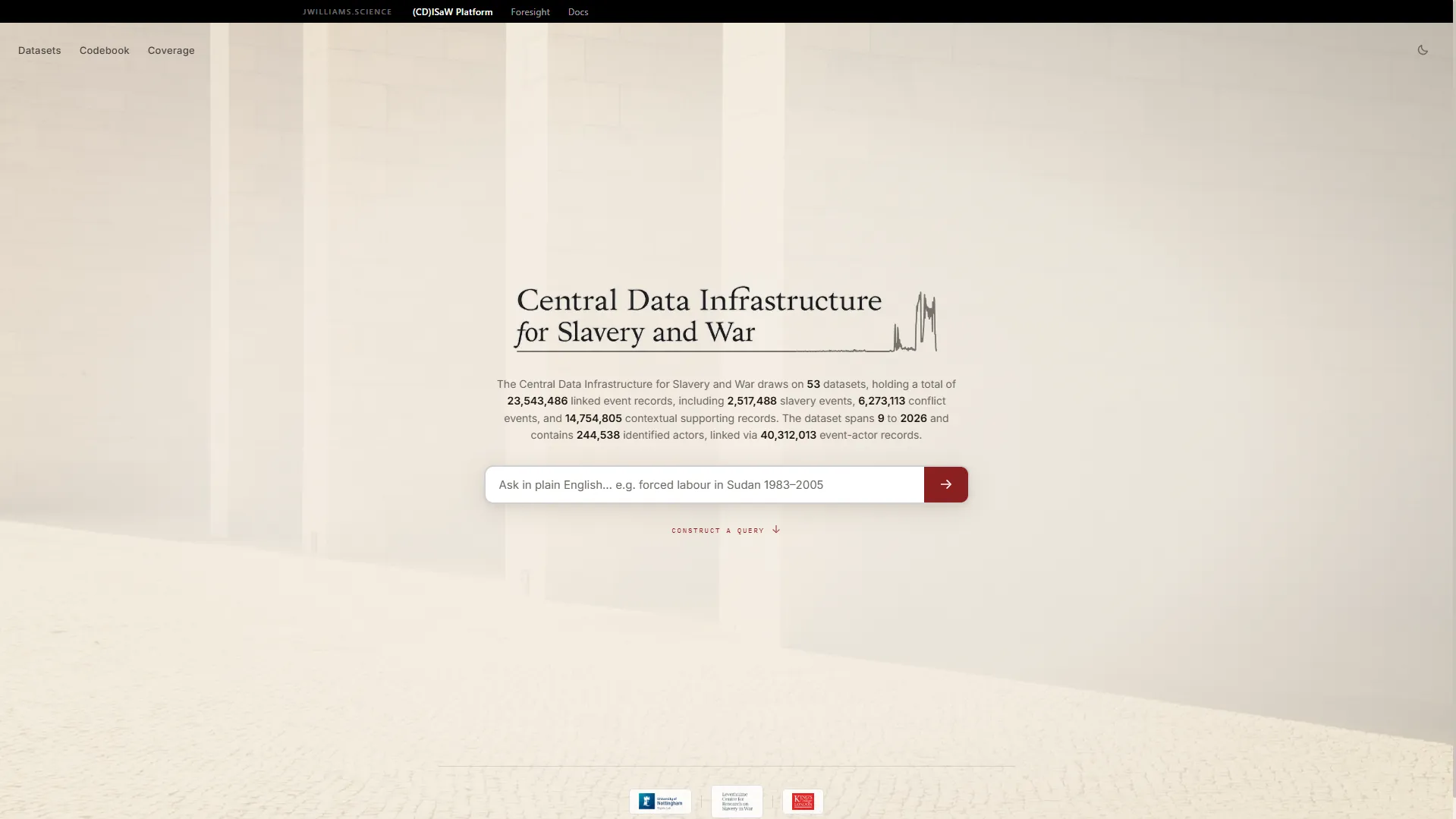
CDISAW: a queryable data infrastructure for slavery and armed conflict
A research platform that makes 53 incompatible datasets on slavery in war answerable as one corpus. 23.5M linked event records across five ontological layers, queried through a typology-first interface, with every query citable.
23.5MLinked event records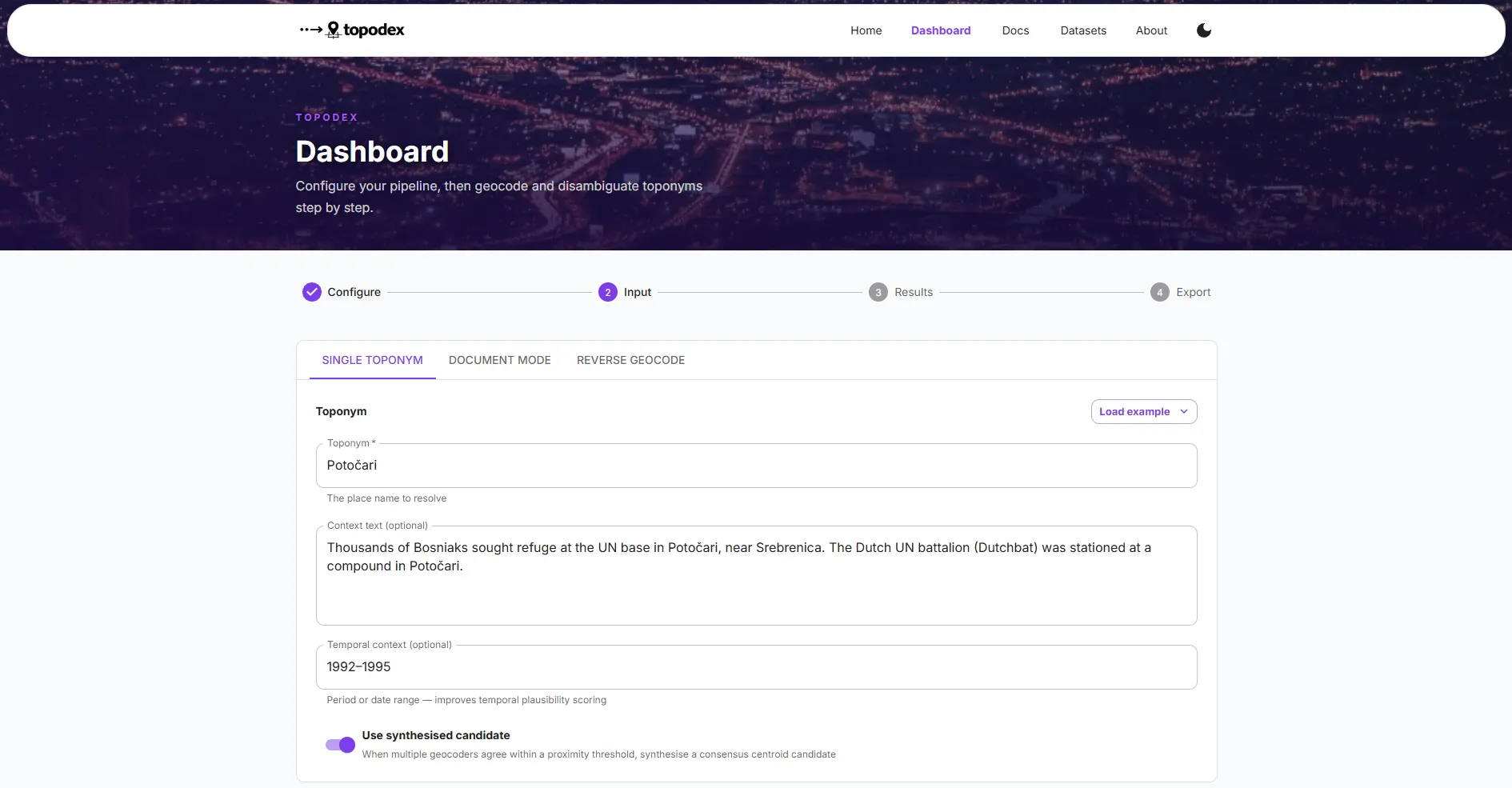
Topodex: contextual geocoding for conflict and human rights corpora
A Python library that makes geocoders accountable to the document they are reading. 894M+ places resolved across nine open sources, reranked against document context, with a six-category failure taxonomy and a coherence check over everywhere a document names.
894M+Places resolved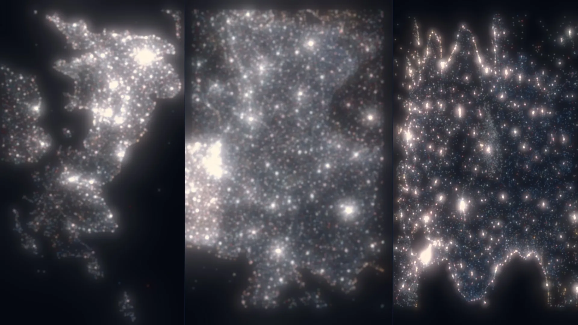
AnythingPOI: a fused, confidence-scored points of interest dataset
OpenStreetMap and Overture Maps conflated into one deduplicated, classified, openly licensed dataset. 22.7M points across six countries, every record carrying a confidence score and the evidence behind it.
22.7MPoints of interest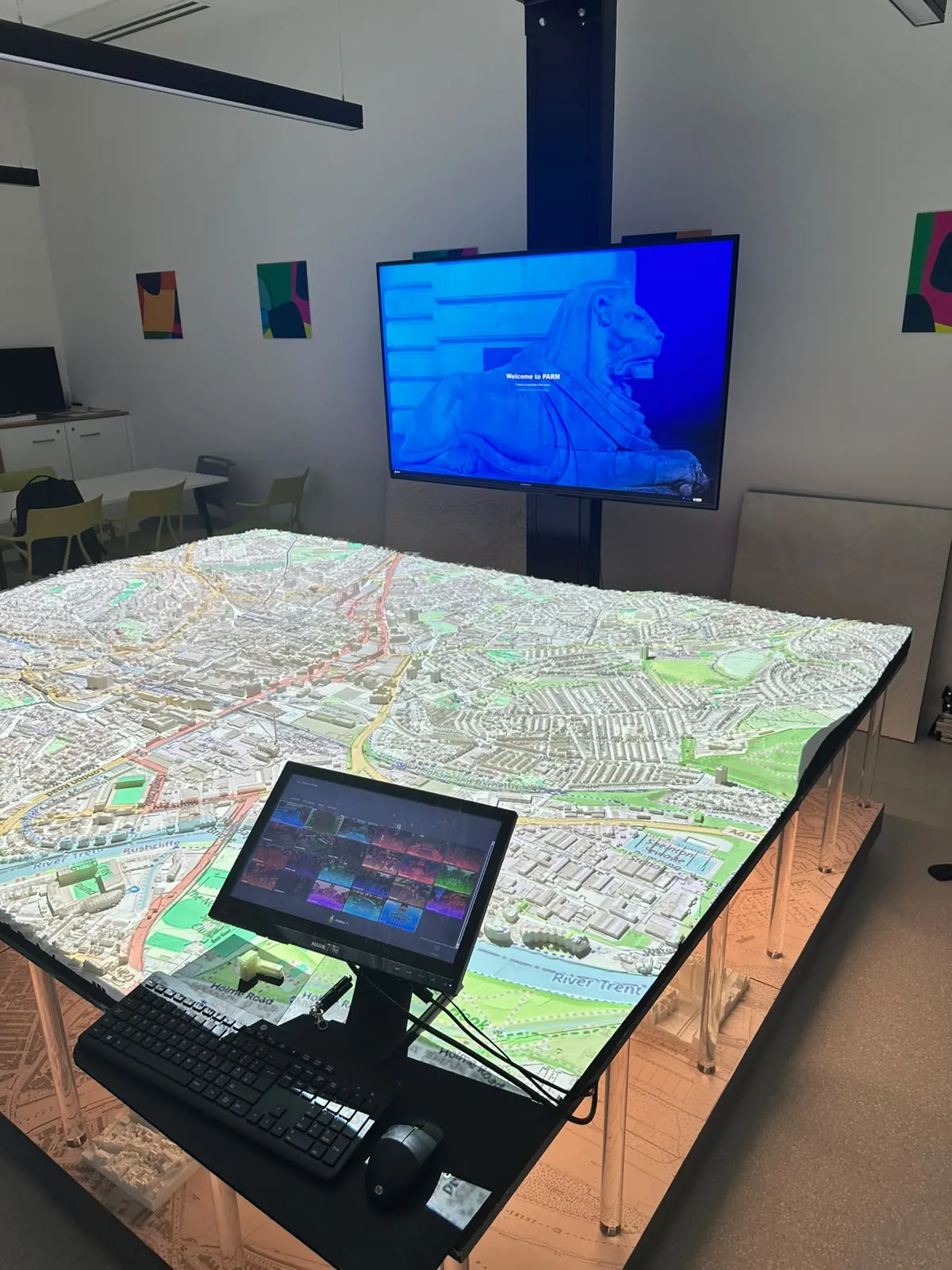
PARM-X: projecting live geospatial data onto physical city models
The interactive software layer for Nottingham's projection augmented relief model. Live council data, crowd simulations and public responses draped onto physical terrain across four synchronised screens, cutting a four-hour preparation process to minutes for executive planning sessions.
4h → minMap preparation
What I do
ETL that survives its author
Reproducible ingestion at volume, containerised and orchestrated, from raw source to GeoParquet, PMTiles and vector tiles.
Entity resolution at scale
Multi-stage matching across heterogeneous sources, with validation that catches the plausible-looking wrong answer.
Geospatial systems
PostGIS, spatial SQL, H3 discrete global grids and routing engines, where projections and joins decide correctness.
Representation learning
Graph neural networks over street networks, NLP geoparsing, and embeddings that make places comparable.
Selected publications
All publicationsGeospatial Experience-Oriented Notation (GEON): A Semantic Format for LLM-Native Spatial Intelligence
Williams, J.. TechRxiv.
PreprintPlaceAgents: Multi-Stop Pedestrian Itineraries as Platial Flows on Urban Networks
Williams, J.. The 6th Spatial Data Science Symposium (SDSS 2025).
Conference paperPlaceCrafter: Curating Urban Functional Regions through Platial Clustering of OpenStreetMap Points of Interest
Williams, J. & Priestnall, G.. Proceedings of OSMScience 2025.
Conference paper
Contact
Let's worktogether →
Open to consulting engagements and research collaborations. The fastest route is email, at james@jameswil.com.